Ingeniería de Sistemas para la Defensa de España, Spain | lead |
ARIADNA aimed to optimise the use of maritime and inland infrastructures in order to manage the increase in traffic density and, at the same time, improve safety at congested maritime and inland areas, based on the implementation of the volumetric navigation concept.
EXECUTIVE SUMMARY
The goal of the project ARIADNA is to design a new concept and build a new series of navigation support systems which facilitate:
- optimisation of the use of maritime and inland infrastructures,
- safe navigation in dense traffic situations in ports, rivers, channels, lock and port access areas,
- improvement of traffic separation schemes,
- improved risk control, including grounding, and
- efficient and environmentally-friendly operations.
ARIADNA based products can be also useful to avoid human error in navigation. The new system provides warning and manoeuvring support for collision avoidance, as well as risk and warning assessment to vessel and navigation control systems in different maritime scenarios such as channels, port access areas, narrow inland waterways and congested areas.
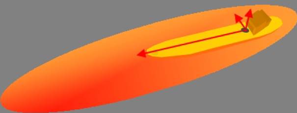
ARIADNA system aims at the implementation of the Volumetric Navigation System (VNS) for maritime and inland navigation according to the following preconditions:
- The system combines data on navigation, position and vessel characteristics with time information about relative positions in regard to vessels and infrastructures that are located in its surroundings
- Through the usage of VNS, all vessels share information in order to be part of a collaborative navigation network
Objectives
The overall objective of ARIADNA project is to optimise the use of maritime and river infrastructures in order to manage increased traffic density and, at the same time, improve safety at congested maritime and inland areas with the support of the last ICT navigation aids.
In the framework of the project, specific objectives are also defined:
- Demonstrate and support feasibility to reduce the traffic separation by at least 20% on high density traffic regulated areas as based on a realistic risk assessment considering HNS carried or not, and oceanographic and weather conditions.
- Demonstrate and support feasibility to increase infrastructures use and passage density capability by 20% on regulated areas based on a realistic risk assessment on infrastructure constraints and navigation conditions .
- Provide a navigation support tool to reduce human error and hence increasing safety in an increasing navigation density scenario and reducing collision, grounding and wake effect accidents by 20%.
- Reduce waiting time and manoeuvring in ports, inland waterways and infrastructures accesses by 10% (with inherent reduction of energy and production of CO2)
- Information/data management
- Effective and robust voice communication and data transfer
- Systems and equipment
- Ship reporting
- Traffic monitoring; and/or
- Training and familiarization
| Organisation |
|---|
Ingeniería de Sistemas para la Defensa de España, Spain (lead) |
Instituto Nacional de Técnica Aeroespacial, Spain |
TeleConsult Austria GmbH, Austria |
Via Donau – Österreichische Wasserstraßen-Gesellschaft mbH, Austria |
CONSAR – Italian Shipowners Research Consortium, Italy |
Istanbul Technical University, Turkey |
True Heading AB, Sweden |
HSVA Hamburgische Schiffbau-Versuchsanstalt GmbH, Germany |
Grupo Mecánica del Vuelo Sistemas S.A., Spain |
Consultores Investigación Tecnológica S.L., Spain |